
Dear friends of SailingSymi,
In this blog post, we want to tell you why we’re still in the U.S. at the moment, what it means to wait for a “window,” and why the weather in the U.S.—just like in Europe—has been too cold and a bit erratic this spring.
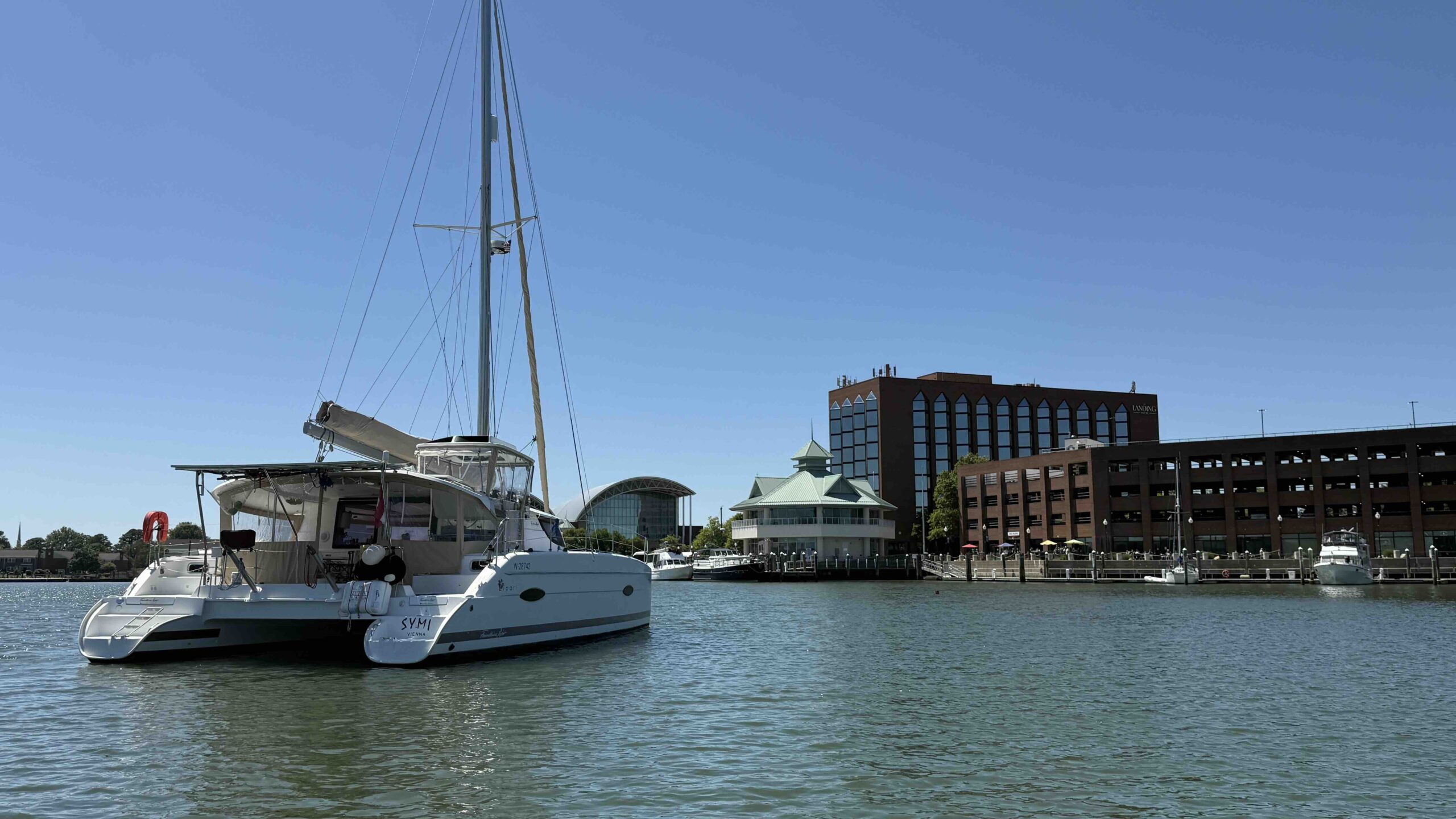
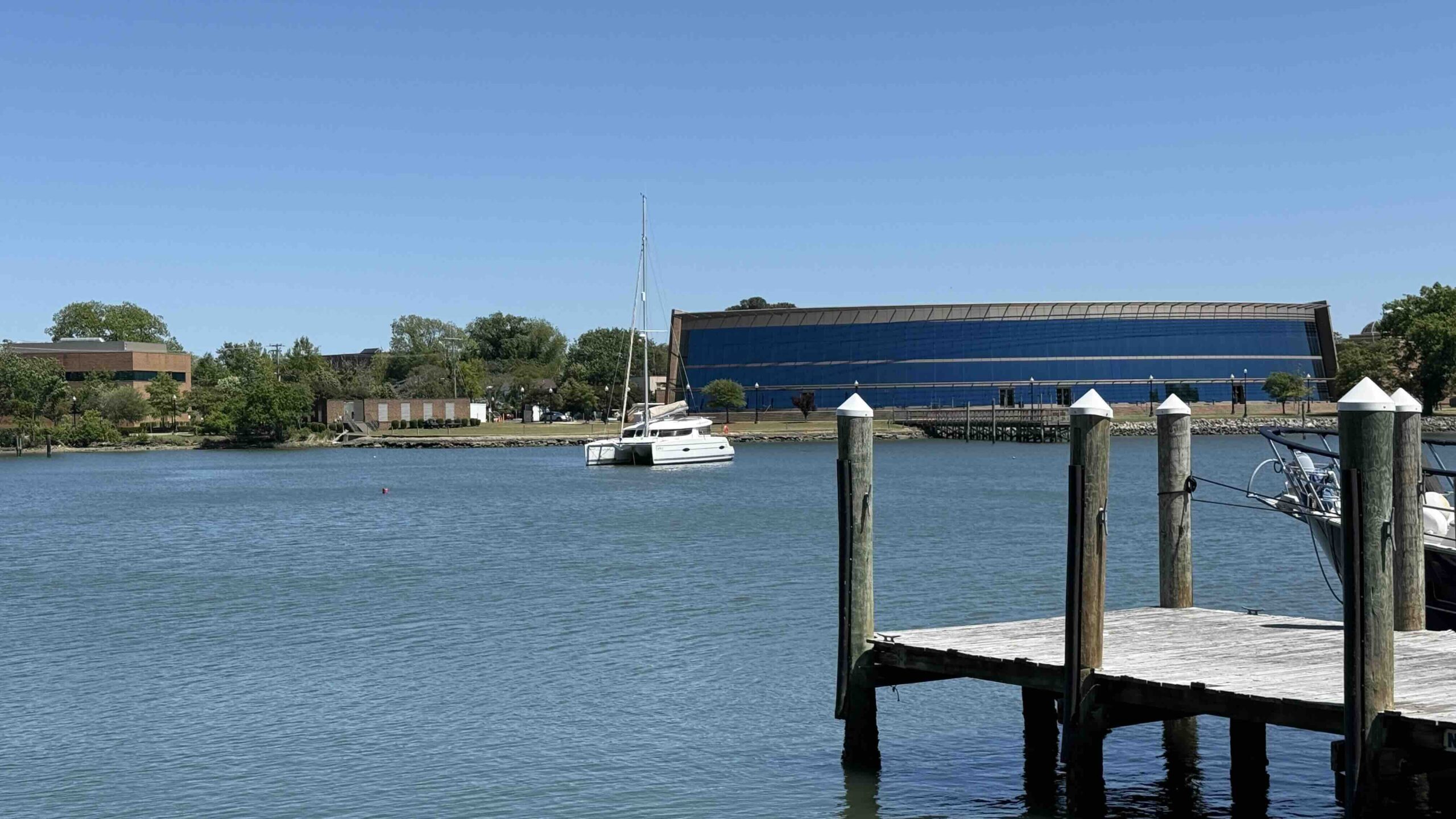
Last week, we sailed about 100 km southeast from Deltaville down to Norfolk, and we’re currently in a very safe spot on a river that flows through the city of Hampton, at a very cozy anchorage right in front of a museum.
Over the next few days, we’ll have strong southerly winds and cool temperatures. At night, it’s 8° on board, and during the day, temperatures don’t rise above 16°.
Fortunately, Symi has a diesel-powered Webasto heater—like the ones in trucks—that allows us to maintain temperatures around 22° inside the boat, which makes our evenings, falling asleep, and waking up much more comfortable.
The window we’re waiting for is a weather window. This means a suitable period of weather that will allow us to safely travel the five-day distance from here to Bermuda. The issue of the current weather pattern is a hot topic among meteorologists in the United States.
I hope you don't mind if I go into a bit more detail about the meteorological causes of this in this blog post. Incidentally, this pattern also applies to this year's spring in Europe, which was cooler than average.
The polar jet stream is to blame for this chaotic weather and the many low-pressure systems and cold fronts in the eastern United States. It is a very strong high-altitude wind at an altitude of about 10 km that moves in waves from west to east around the North Pole throughout the year.
Due to global warming, it sometimes (as was the case this past January) forms protrusions that extend far to the south, reaching as far as the Great Lakes and Chicago—or even further south—in a shape resembling an inverted omega. A meteorologist said it’s as if Canada had left the refrigerator door open. The cold air from the North Pole is carried southward by the jet stream and thus blown into the United States.
In the first image below, you can see the United States with the jet stream (at the top of the image) and the cold air that the jet stream carries across the entire country from west to east. This explains the cold weather that extends from Canada to Washington. Click on the image to enlarge it.
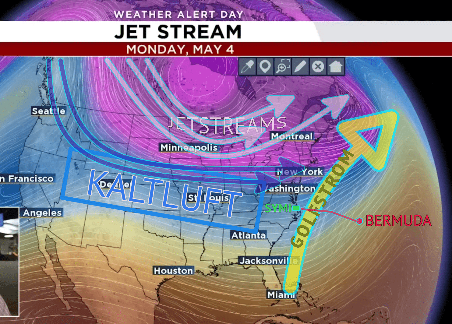
But why, then, is there so much wind and unstable weather? The large temperature differences between the cold polar air and the warmer air over America cause strong low-pressure systems to form much more frequently than normal. These systems then move from west to east and often reach the East Coast and the western Atlantic—where we are located—within a day or so. This results, first, in temperatures that are far too low for this time of year, and second, in winds that are far too strong and erratic for the month of May.
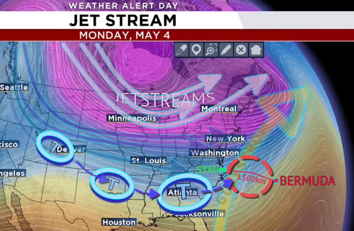
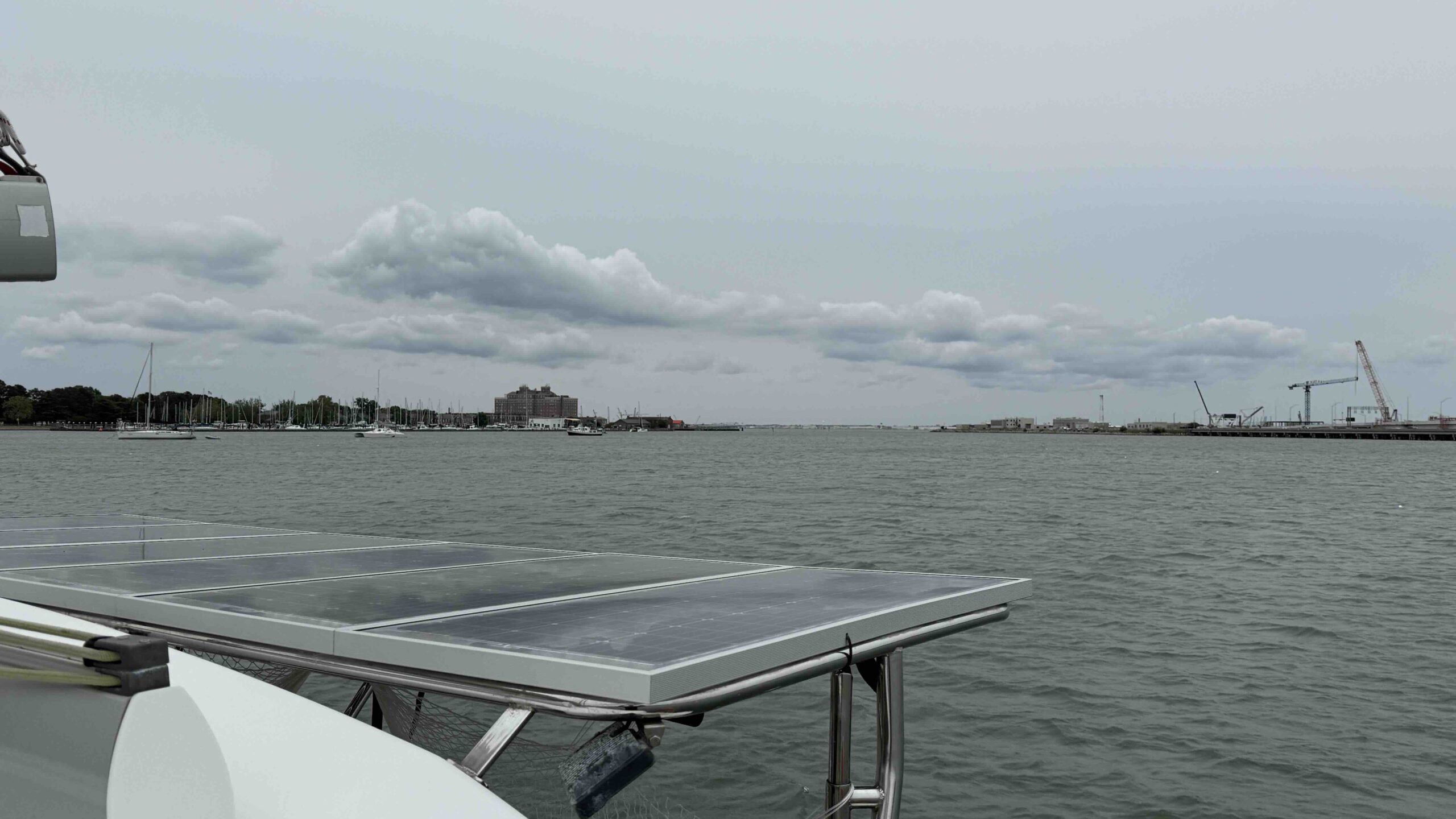
In the image above, you can see our location, and the red circle marks the area that affects us—where we’re hoping for five days of good weather. The following factors are crucial for our weather window: 1.) The wind must come from the south so as not to interfere with the Gulf Stream flowing northward. 2.) We must not be hit by any severe storm systems during the five days we’ll be at sea. “Caught off guard” here means that if we set sail without proper advance planning, we could face winds of up to 80 km/h and waves 3–4 m high, which wouldn’t be good for either the boat or us. So it’s better to wait. We’re not under any time pressure yet. And when will things get better? Andrea certainly isn’t the only one here wondering that. According to the long-range forecast, this nightmare should be over by mid-May, and the “fridge door” in Canada should close again. That would mean the jet stream should return to its normal path. Now that you’ve made it through the science lesson, hopefully you understand why we’re still waiting for our window of opportunity. Here are a few more pictures from the town of Hampton.

Best regards from aboard, and take good care of yourself… Pavlos Kosteki and crew